Tags
A.D. Bright, A.M. Bailey, Alex McClintock, Anthony Lawson, Appalachia, C.B. Taylor, C.R. McNutt, Canada, Charleston, Cincinnati, Cora McInturff, E.H. Stewart, Egbert Mills Jr., Elkhorn Sandy River Trust Company, George W. Duty Jr., Grayton Mining Company, Grayton Water Works and Improvement Company, H.R. Phillips, H.S> White, H.W. Sibley, Howard S. Graham, J.C. Williamson, J.D. Sergeant, J.E. Price, Jacob Smith, James Hatfield, James OKeeffe, L.M. Hall, Lewis Ferrell, Logan County, M.F. Meighen, Magnolia District, McDowell County, Mercer County, Mingo County, Morehead, Moundsville, New York, Philadelphia, Pike County, Richard Torpin Jr., Roanoke, Rowan County, Sauel Walton, Stuart Wood, Tazewell County, Virginia, W.E. Chilton, W.W. Adams, Warren Alderson, West Virginia, Wheeling, William P. Payne
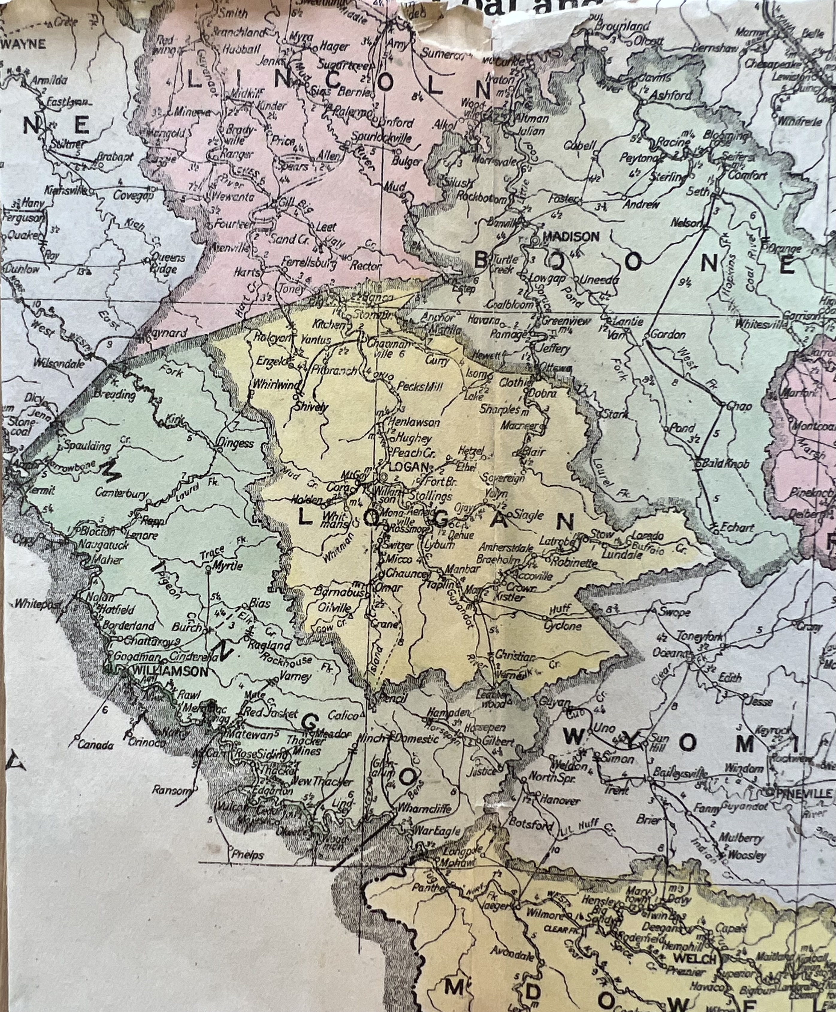
What follows is a list of absentee landowners in Magnolia District of Logan County, WV, for 1890, 1892, and 1894… There are three significant types of absentee landowners: 1) those who live outside of Logan County; 2) those who live in Logan County but outside of Magnolia District; and 3) those who own property, for example, at Mate Creek but reside, for example, at Grapevine Creek (both within the district). This list does not include the latter type.
1890
J.D. Sergeant, Philadelphia, PA, 9495.91 acres
James O’Keeffe, Tazewell County, VA, 2963 acres
Stuart Wood, Philadelphia, PA, 2813 acres
Walton and O’Keeffe, Tazewell County, VA, 1933 acres
Elkhorn Sandy River Trust Company, no address given, 1699 acres
Warren Alderson, Morehead, KY, 800 acres
J.C. Alderson, Wheeling, 792 acres
J.D. Sergeant and James O’Keeffe, ________, 783.5 acres
E.H. Stewart, trustee, Roanoke, VA, 684 acres
Lewis Ferrell heirs, Pike County, KY, 600 acres
W.B. Payne, McDowell County, 582 acres
F. Stukenburgh, Cincinnati, OH, 350 acres
1892
Richard Torpin, Jr. et al, trustee, no residence given, 9326.66 acres
H.R. Phillips, NY, 6095 acres
J.E. Price, trustee, NY, 5853 acres
Samuel Walton, Tazewell County, VA, 4439.5 acres
Walton and O’Keeffe, Tazewell County, VA, 4102 acres
W.E. Chilton, trustee, Charleston, 3953.5 acres
Stuart Wood, Philadelphia, PA, 2813 acres
J.D. Sargeant, Philadelphia, PA, 1668.5 acres
James O’Keeffe, Tazewell County, VA, 1650 acres
C.R. McNutt, Mercer County, 1509 1/16 acres
H.S. White, Charleston, 1500 acres
Alderson and Adams, Wheeling, 920.5 acres
Alex McClintock, Lexington, KY, 843 acres
E.H. Stewart, Roanoke, VA, 684 acres
Jacob Smith, Pike County, KY, 550 acres
W.B. Payne, McDowell County, 532 acres
J.F. Paull, trustee, Wheeling, 509 acres
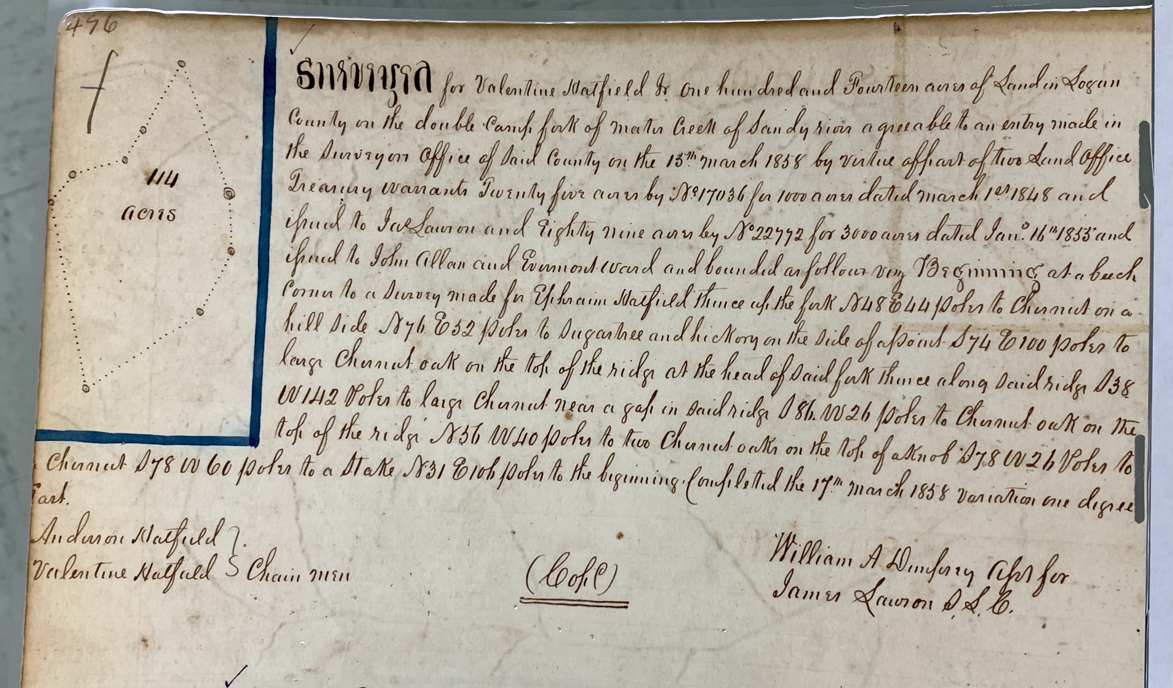
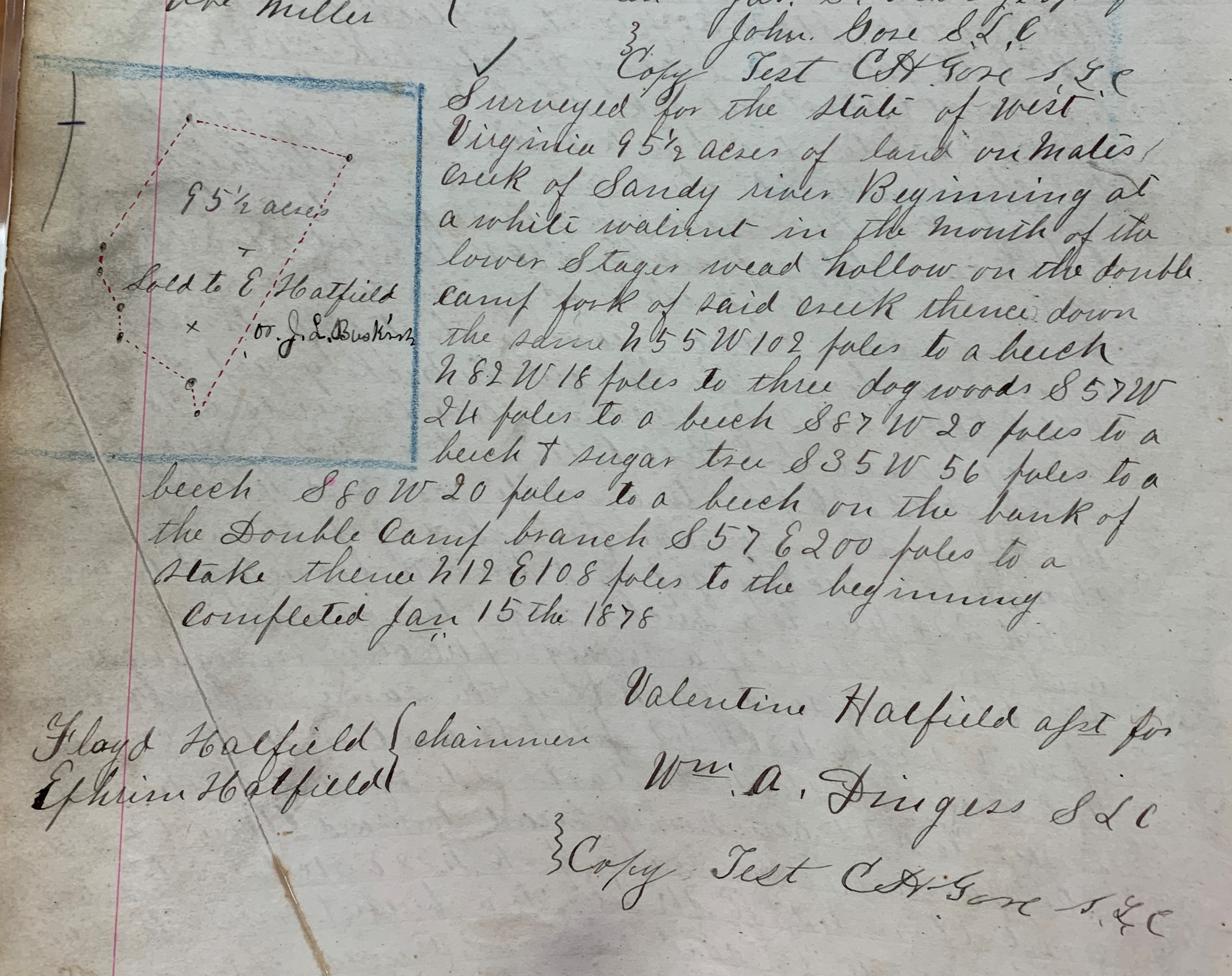
James Hatfield, Rowan County, KY, 147 acres
J.C. Alderson, Wheeling, 59 acres
H.W. Sibley, Tazewell County, VA, 36 acres
George W. Dewty, Jr., Pike County, KY, 22 acres
1894
Richard Torpin, Jr., trustee, no address given, 9326.66 acres
H.R. Phillips, trustee, NY, 6345 acres
Grayton Mining Company, Philadelphia, PA, 6022.5 acres
J.E. Price, trustee, NY, 5853 acres
Egbert Mills, Jr., trustee, NY, 4374.5 acres
Walton and O’Keeffe, Tazewell County, VA, 4052 acres
Stuart Wood, Philadelphia, PA, 3097 acres
C.R. McNutt, Mercer County, 3018 1/8 acres
L.M. Hall et al, Towanda, PA, 2572 acres
Howard S. Graham et al, trustee, Philadelphia, PA, 1790 acres
J.F. Poull, trustee, Wheeling, 954 acres
Alderson and Adams et al, Wheeling, 920.5 acres
J.D. Sergeant, Philadelphia, PA, 877.5 acres
Grayton Water Works and Improvement Company, Philadelphia, PA, 767 acres
E.H. Stewart, trustee, Roanoke, VA, 684 acres
W.B. Payne, McDowell County, 532 acres
J.C. Williamson, Pike County, KY, 470.5 acres plus three lots in Matewan
A.D. Bright, NY, 374 acres
Jacob Smith, Pike County, KY, 350 acres
C.B. Taylor, Canada, 200 acres
J.C. Alderson, Wheeling, 193 acres
H.W. Sibley, Tazewell County, VA, 36 acres
George W. Duty, Jr., Pike County, KY, 22 acres
Cora McInturff, KY, 1 acre
A.M. Bailey, McDowell County, 0.5 acres
B.F. Meighen, Moundsville, two lots in Matewan
Source: Land Book 1887-1892 and Land Book 1893-1899.